Drone documentation for every construction milestone
Recurring drone documentation for active construction sites in Dallas-Fort Worth. Site maps, progress comparisons, and executive visuals your team, investors, and lenders can rely on.
- Locally Owned
- FAA Part 107 Certified
- Insured (COI on request)
- Serving DFW, Texas & the South Central US
- Bilingual EN / ES
The problem
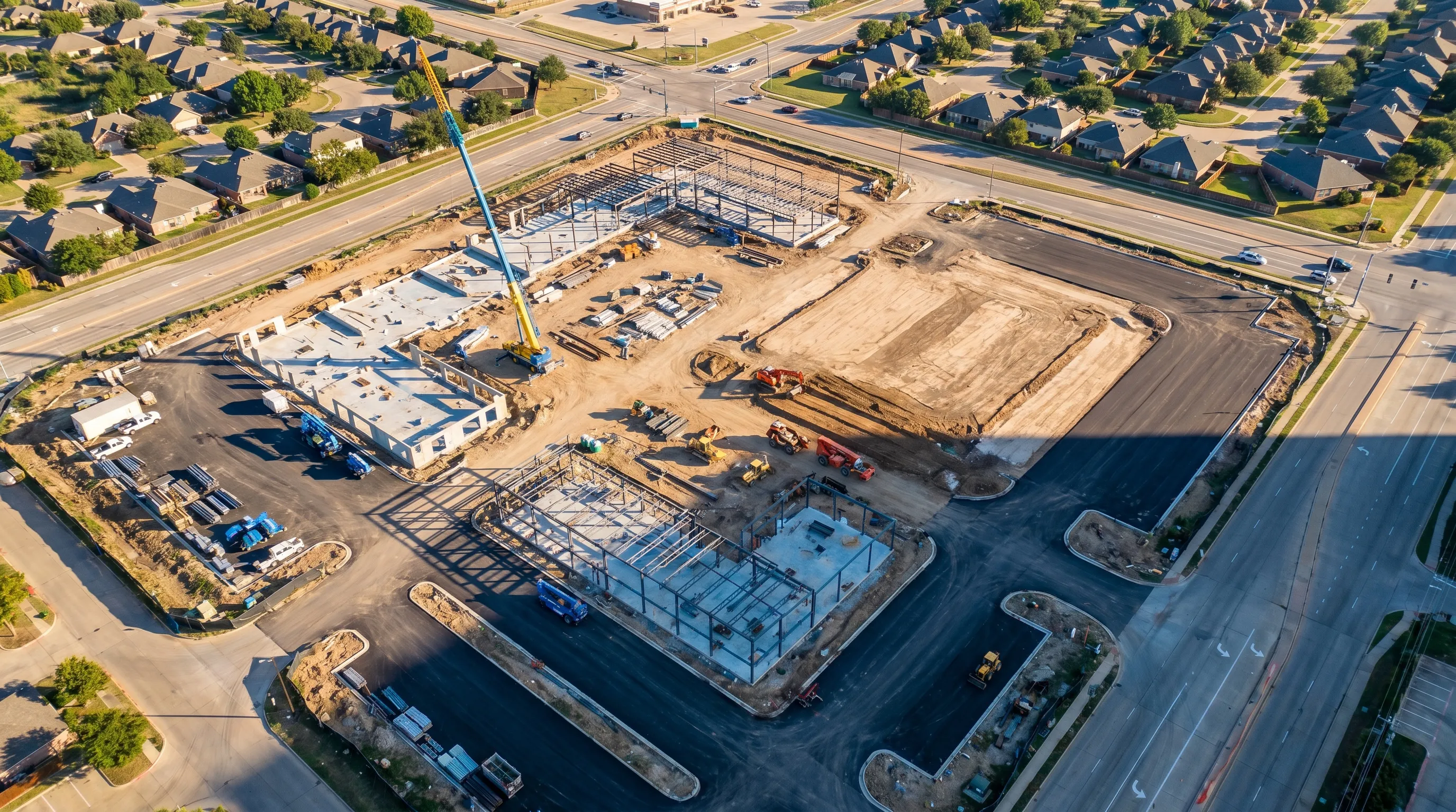
Progress photos from the ground do not tell investors or engineers what they need to see, and memory is not a record. When a schedule slips or a claim comes up, you need dated, measurable proof of what the site looked like and when.
What we deliver
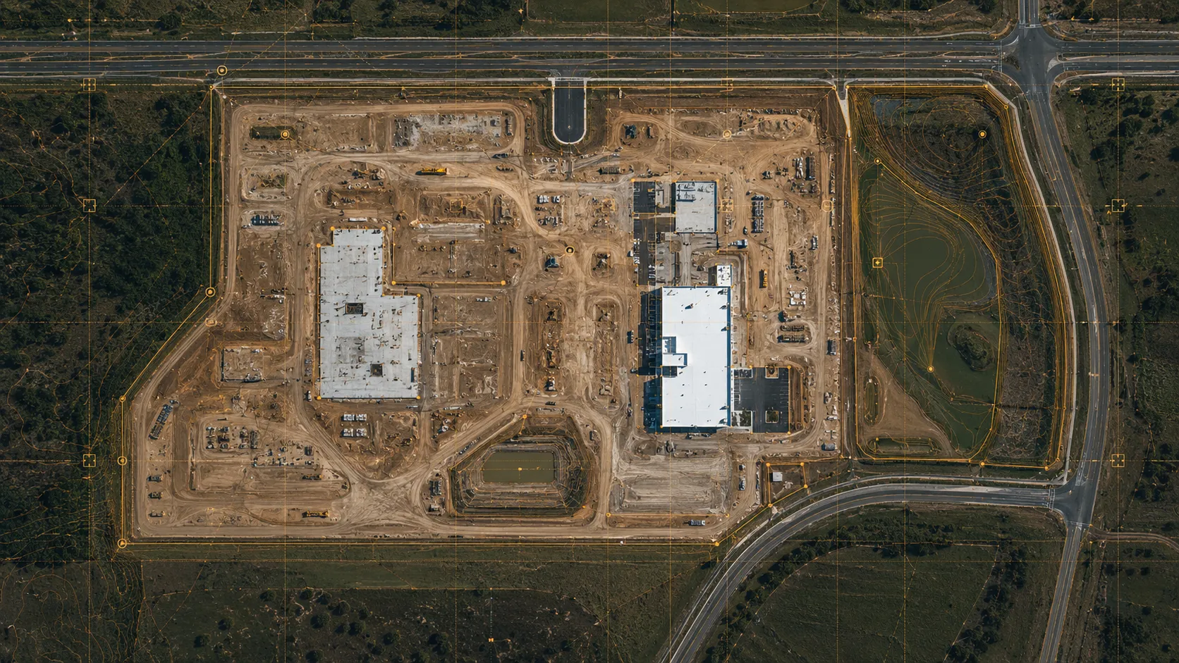
We fly your site on the schedule you set and turn each visit into a clear record: an orthomosaic to document progress, side-by-side comparisons over time, and clean photo and video for reporting.
What you get
- Recurring georeferenced orthomosaic of the site
- Date-to-date progress comparison
- Executive photo and 4K video for reporting
- Long-term time-lapse program
- Turnaround confirmed with your quote (many deliverables within 24 hours)
- For volumes and 3D models, see Mapping & 3D
Consistent, every visit
We fly automated, pre-programmed routes, so every visit covers the site the same way. Your progress reports line up date to date, and nothing gets missed.
Safety
Document rooftops, scaffolding, and high structures from the air, with no one at height.
Used for
Progress reporting to owners, investors, and lenders, lender draw documentation with timestamped imagery, schedule and plan verification, and change orders and claims.
Based in DFW, working across Texas
We are based in Dallas-Fort Worth and document sites across the metroplex. For larger projects we travel across Texas and the South Central US. As FAA Part 107 pilots we handle LAANC authorization for controlled airspace.
FAQ
How often do you fly?
On your schedule: weekly, biweekly, or triggered by milestones.
Can you match previous shots?
Yes. We fly the same routes and angles each visit, so reports line up over time.
Can you fly near DFW airports?
Yes. We are FAA Part 107 certified and handle LAANC authorization for controlled airspace.
How fast do you deliver?
It depends on the deliverable. Simpler sets are often ready within 24 hours; larger maps, 3D models, and edited video take longer. We confirm the exact timeline with your quote.