Drone data and aerial media, delivered fast.
Aervance Precision is a specialized, FAA Part 107 certified drone crew in Dallas-Fort Worth. We turn flights into data your team can measure and use.
- Locally Owned
- FAA Part 107 Certified
- Insured (COI on request)
- Serving DFW, Texas & the South Central US
- Bilingual EN / ES
What we do
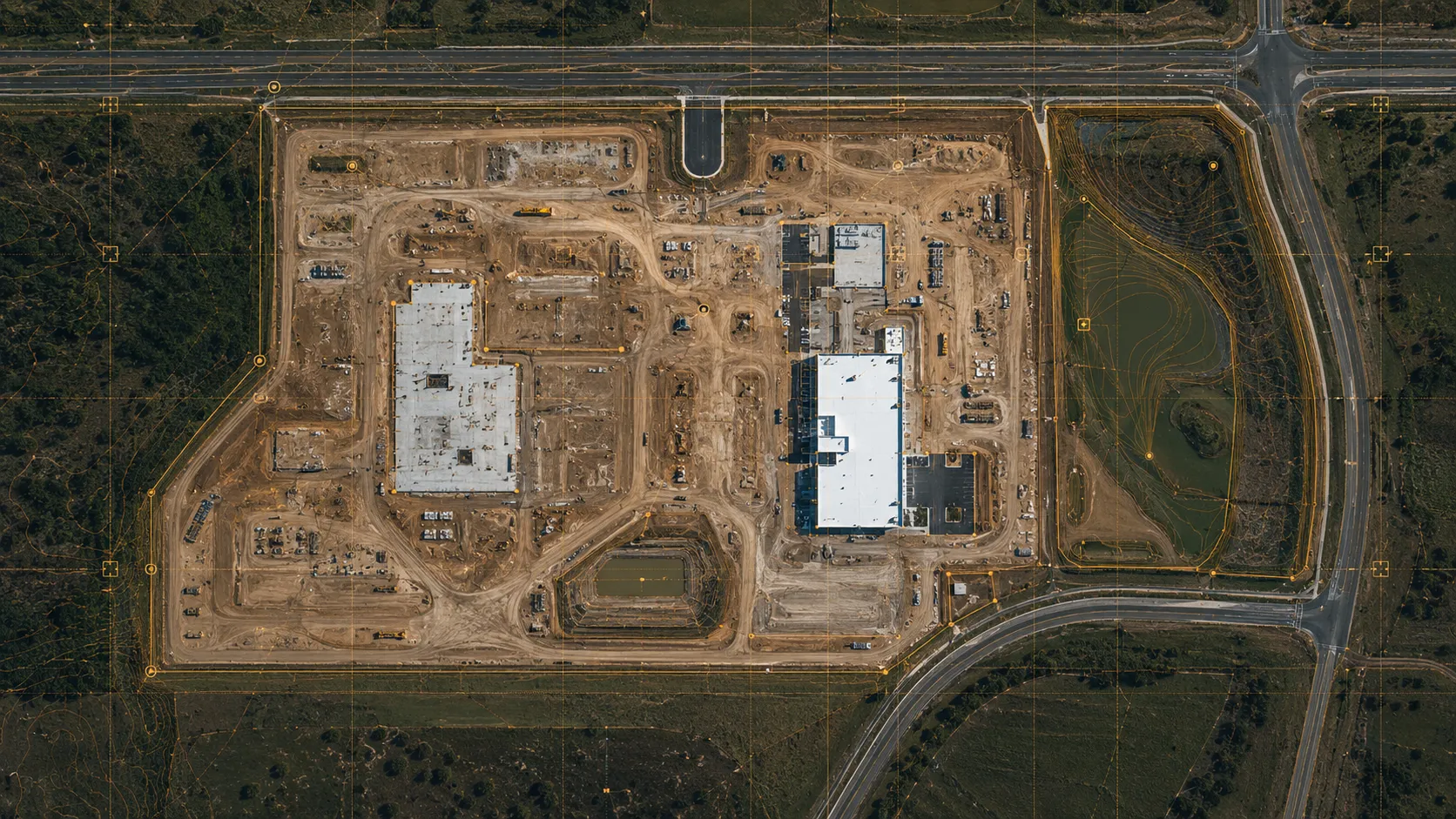
Drone Mapping & 3D Modeling.
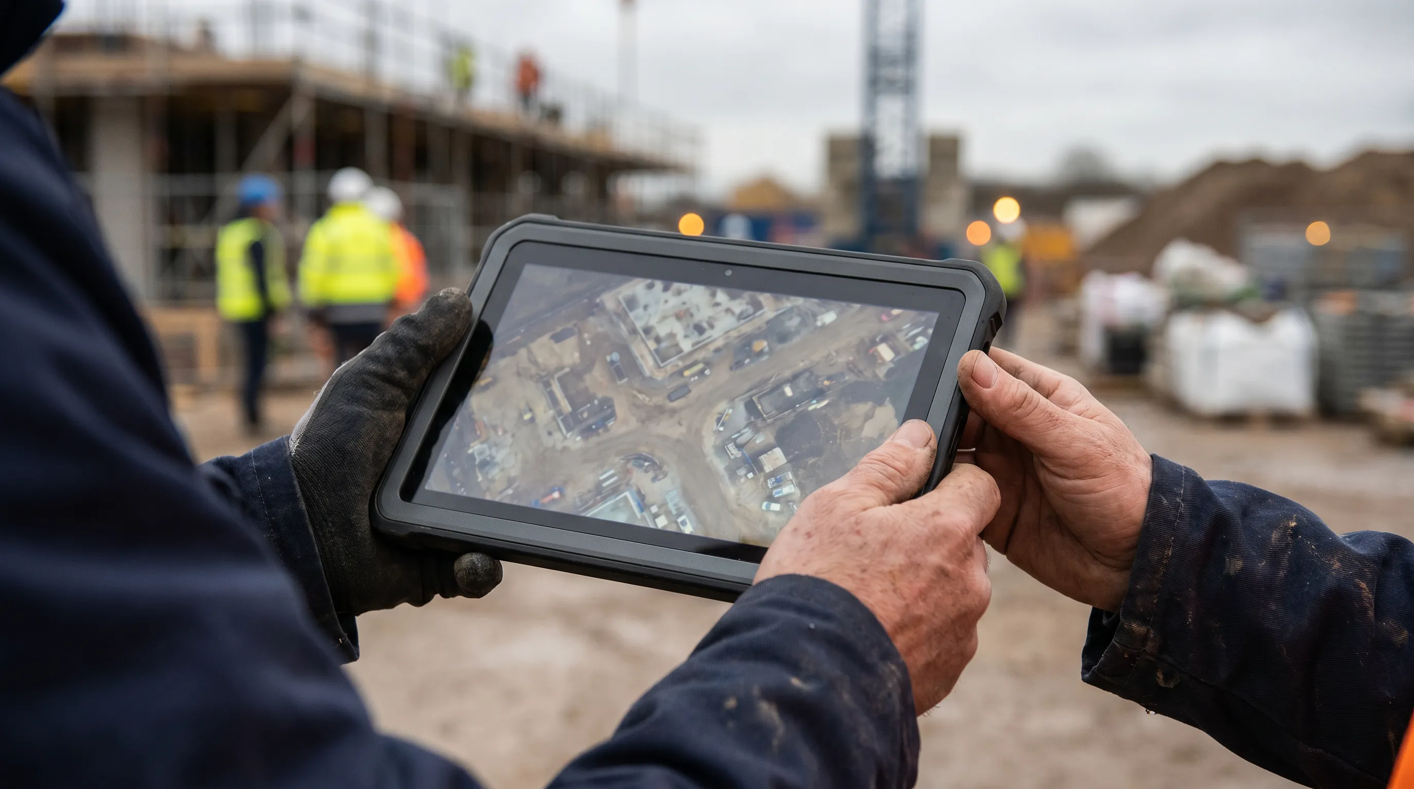
Orthomosaics, 3D models, point clouds, and volume measurement. Survey-grade data for engineering and construction.
Learn more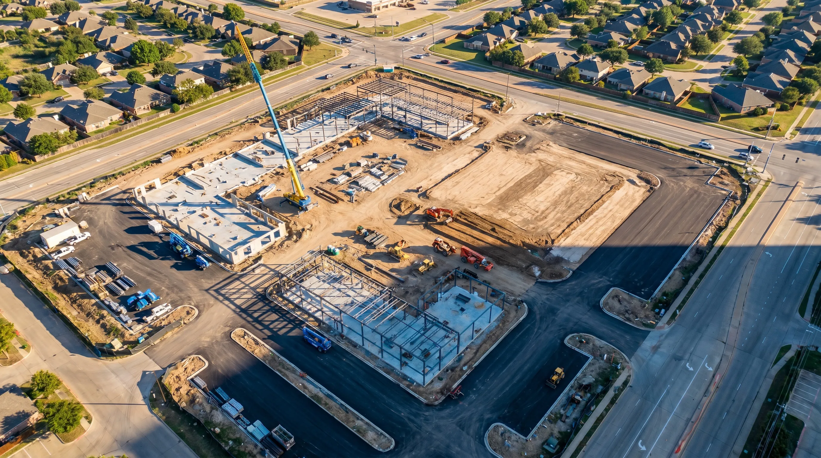
Construction Drone Documentation.
Recurring maps and reports that document your job site for PMs, engineers, and investors.
Learn more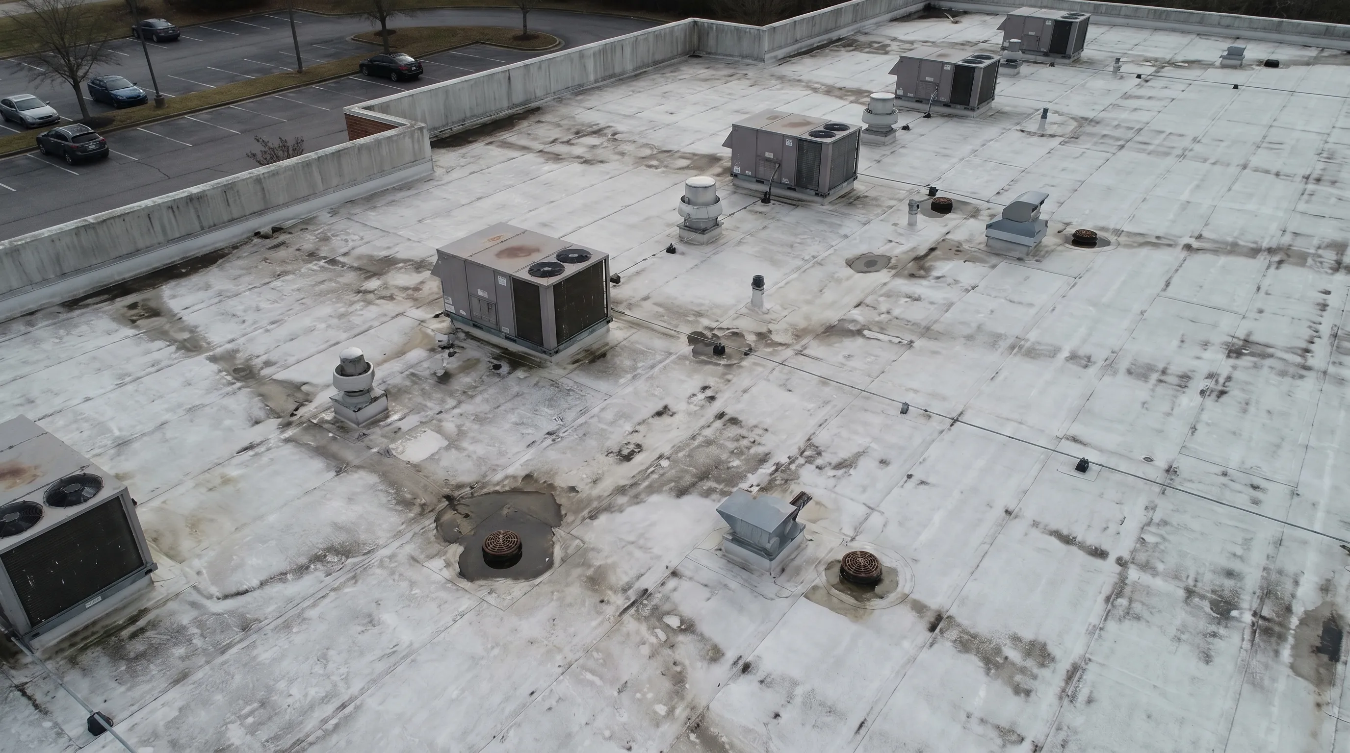
Drone Inspection.
Roof, facade, and structure inspections from the air. Catch problems early and keep crews off the ladder.
Learn more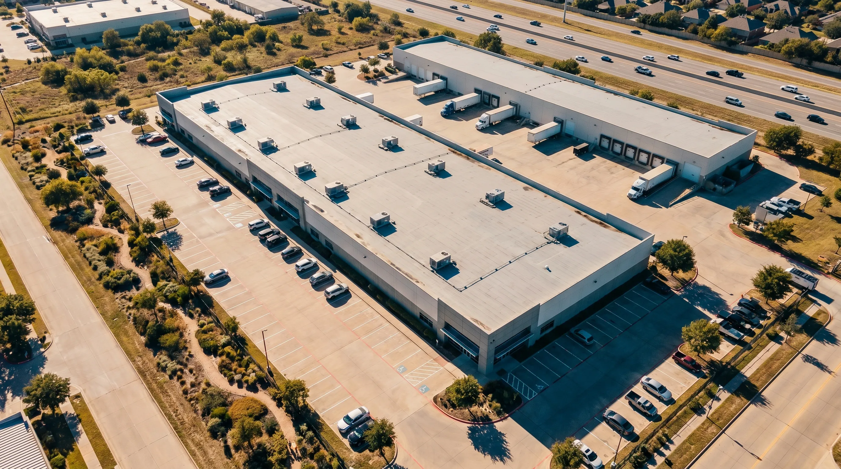
Aerial Property Media.
Aerial photos and video that make a commercial property stand out, delivered fast.
Learn moreHow it works
Scope the job.
Tell us the site and what you need. We confirm scope, airspace, and a fixed quote.
We fly.
Part 107 certified, insured, and on schedule, with RTK precision where the job calls for it.
You get the data.
Clean, georeferenced deliverables in the formats your software already uses.
Why work with us
- Certified and insured.
- FAA Part 107. Certificate of Insurance on request.
- The right gear for the job.
- Matrice 4E with RTK for survey-grade maps, Mavic 4 Pro for high-end media.
- Data you can actually use.
- Orthomosaics, 3D models, point clouds, and reports compatible with AutoCAD Civil 3D, Revit, and Procore.
- We answer.
- Small team, direct communication, no runaround.
- Bilingual.
- Full service in English and Spanish.
Locally owned in Dallas-Fort Worth. We serve the metroplex, travel across Texas and the South Central US for larger projects, and take on bilingual, cross-border work tied to Costa Rica.