Flight-only drone data capture, ready for your workflow
Need a certified pilot on site and the raw data in your hands? We fly to your spec and hand off clean, geotagged files, for firms that process their own data and for one-off jobs across Texas and the South Central US.
- Locally Owned
- FAA Part 107 Certified
- Insured (COI on request)
- Serving DFW, Texas & the South Central US
- Bilingual EN / ES
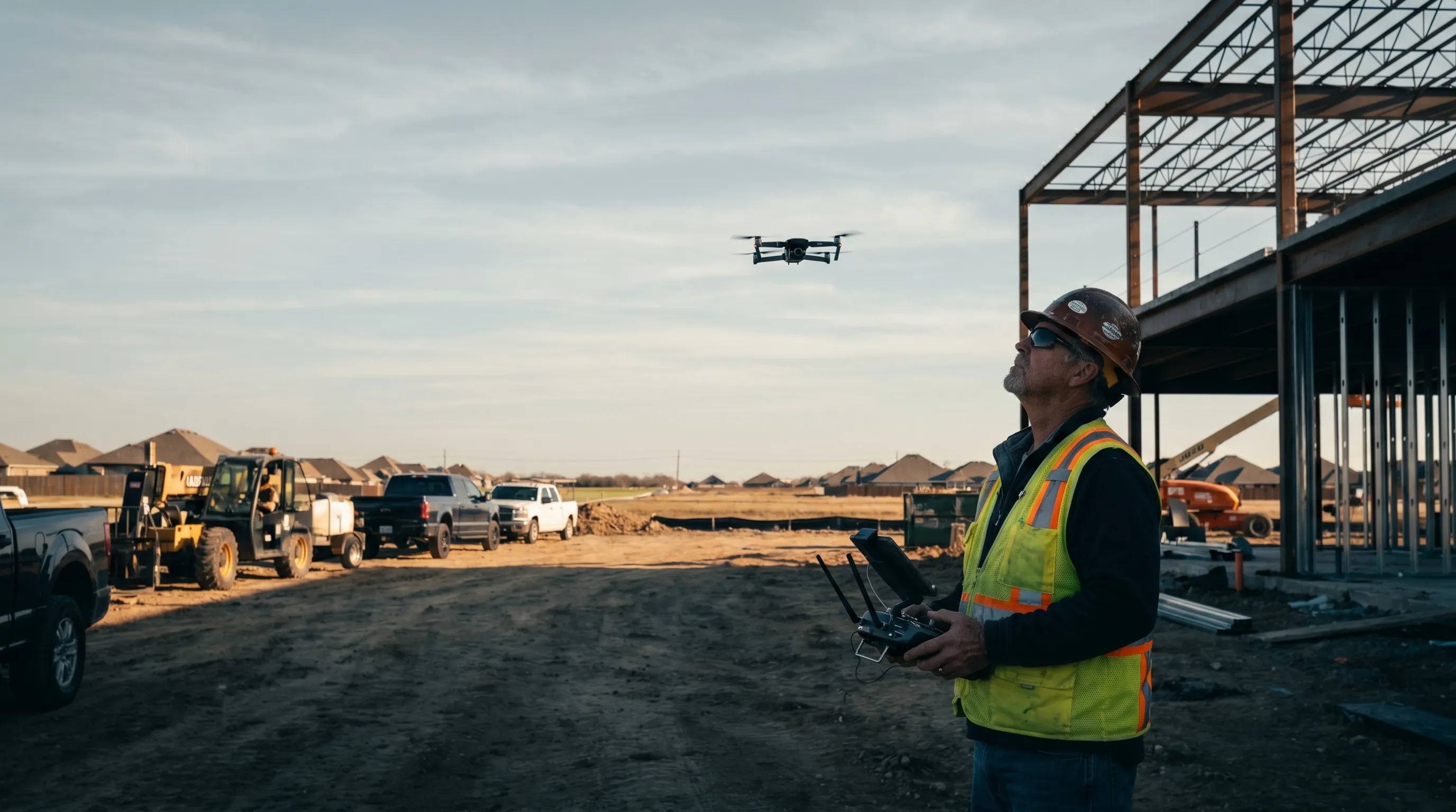
Why teams use us for capture
- FAA Part 107 certified and insured, COI on request
- RTK ground control for survey-grade positioning, PPK on request
- We fly to your flight plan and spec, or build one with you
- Clean, geotagged raw files, ready for your processing pipeline
- Local mobilization, fast, with no national-vendor runaround
For survey, GIS, and engineering firms
You already process your own data. We are your certified local capture partner: we fly the site to your overlap, GSD, and ground-control spec, then deliver raw imagery and logs ready for your photogrammetry or CAD workflow. The work stays yours. We just get you the pixels, and repeat sites are no problem.
We are comfortable working behind the scenes for firms and national providers that need reliable local capture.
One-off capture
Need a single flight? Tell us the site and what to capture, and we deliver the raw photos, video, or mapping imagery. No packages to wade through, and no processing you did not ask for.
What you get
- Raw geotagged images (JPEG or RAW)
- RTK/PPK positioning data and flight logs
- Raw 4K video, if requested
- Delivered through a secure download link
- Processing available on request (DJI Terra), if you would rather we handle it
How it works
- 1 Share the site and your spec, or we build the flight plan with you.
- 2 We fly: FAA Part 107 certified, RTK, with LAANC authorization where needed.
- 3 You get the raw files, ready to drop into your pipeline.
Coverage
Based in Dallas-Fort Worth, capturing across Texas and the South Central US. For capture work we mobilize to your project site. Travel beyond the core DFW area is quoted up front.
Pricing
Capture is quoted per job, by the half day or full day, with travel beyond the core DFW area added up front. Send us the site and your spec and you will get a fixed quote, usually within one business day.
FAQ
Who is this for?
Firms that process their own data (survey, GIS, engineering, national providers and platforms), and anyone who needs a single flight.
What do you deliver?
Raw geotagged imagery, RTK/PPK data, flight logs, and raw video. We do not process the data unless you ask.
Can you fly to my project?
Yes. We mobilize across Texas and the South Central US. Travel beyond core DFW is quoted up front.
Are you certified and insured?
Yes. FAA Part 107 certified and insured, with a Certificate of Insurance on request.