Survey-grade drone mapping and 3D models for your site
RTK drone mapping, orthomosaics, 3D models, and earthwork volumetrics for construction, engineering, and land development across Dallas-Fort Worth.
- Locally Owned
- FAA Part 107 Certified
- Insured (COI on request)
- Serving DFW, Texas & the South Central US
- Bilingual EN / ES
The problem
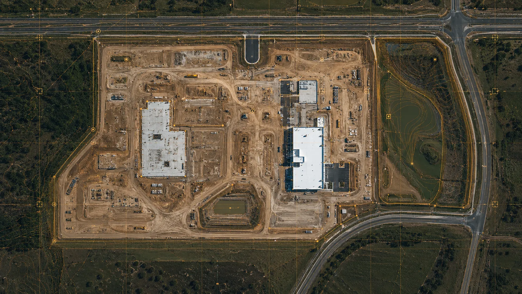
Ground surveys take days and cost a small fortune, and by the time the data reaches your desk the site has already changed. Photos from the ground do not give engineers a base they can measure, and disputes over volumes or quantities are hard to settle without an accurate record.
What we deliver
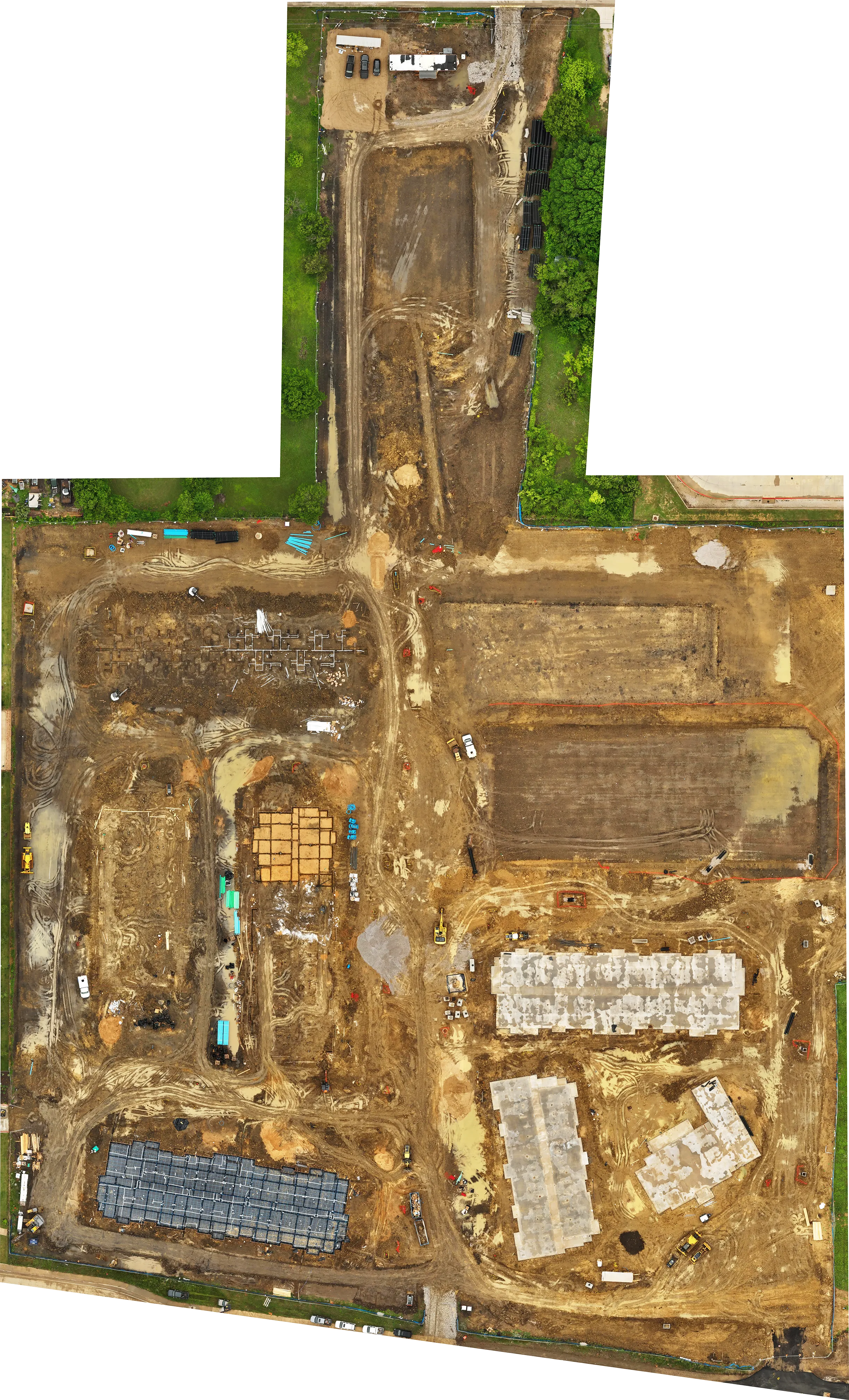
We fly your site and turn it into measurable, georeferenced data: orthomosaics you can scale and measure, 3D models and point clouds, and accurate cut, fill, and stockpile volumes. Flights are automated and repeatable, for complete coverage and consistent accuracy on every visit.
What you get
- High-resolution georeferenced orthomosaic (GeoTIFF), 2 to 5 cm RTK accuracy
- Digital surface model (DSM, GeoTIFF)
- 3D point cloud (LAS) and 3D model (OBJ)
- Earthwork volume reports (cut, fill, stockpile)
- Contour lines and vector exports (DXF / SHP)
- Turnaround confirmed with your quote (many deliverables within 24 hours)
- Processed in DJI Terra and ready to import into AutoCAD Civil 3D, Revit, Procore, and GIS
Used for
Grading and earthwork verification against design, cut and fill quantities for billing and cost control, as-built and existing-conditions documentation, a topographic base for site and civil design, and independent volume checks on pads and stockpiles.
Based in DFW, working across Texas
We are based in Dallas-Fort Worth and map sites across the metroplex, from urban infill in Uptown and Deep Ellum to pad sites in Frisco, McKinney, and the Alliance logistics corridor. For larger projects we travel across Texas and the South Central US. As FAA Part 107 pilots we handle LAANC authorization for controlled airspace near DFW International and Love Field.
Honesty note
Our RTK accuracy meets most commercial construction needs, but it does not replace a licensed land surveyor for legal documents. We are glad to work alongside one.
FAQ
How accurate is the data?
With RTK we deliver 2 to 5 cm accuracy, enough for most commercial construction needs.
Can you fly near DFW airports?
Yes. We are FAA Part 107 certified and handle LAANC authorization for controlled airspace near DFW International and Love Field.
What formats do you deliver?
GeoTIFF orthomosaics and DSM, LAS point clouds, OBJ 3D models, and DXF/SHP contours, processed in DJI Terra and ready for Civil 3D, Revit, Procore, and GIS.
How fast do you deliver?
It depends on the deliverable. Simpler sets are often ready within 24 hours; larger maps, 3D models, and edited video take longer. We confirm the exact timeline with your quote.